




In the Footsteps of those who crossed the Tauern Mountains
Where people hike today, travellers were already making their way through the mountains centuries ago. The ÜBERN TAUERN project brings the history of crossing the Tauern Mountains to life through hiking trails, audio walks and contemporary art. Between Untertauern, Obertauern and Tweng, you can discover remnants of historic roads and learn how people once made their way across the Radstädter Tauern mountain pass.

Three routes, three perspectives
How were roads built through the mountains? Where did travellers find food and accommodation? And what dangers did they face along the way? Three separate routes reveal different aspects of crossing the Tauern Mountains. The accompanying audio walks enrich the hikes with fascinating stories and historical insights.

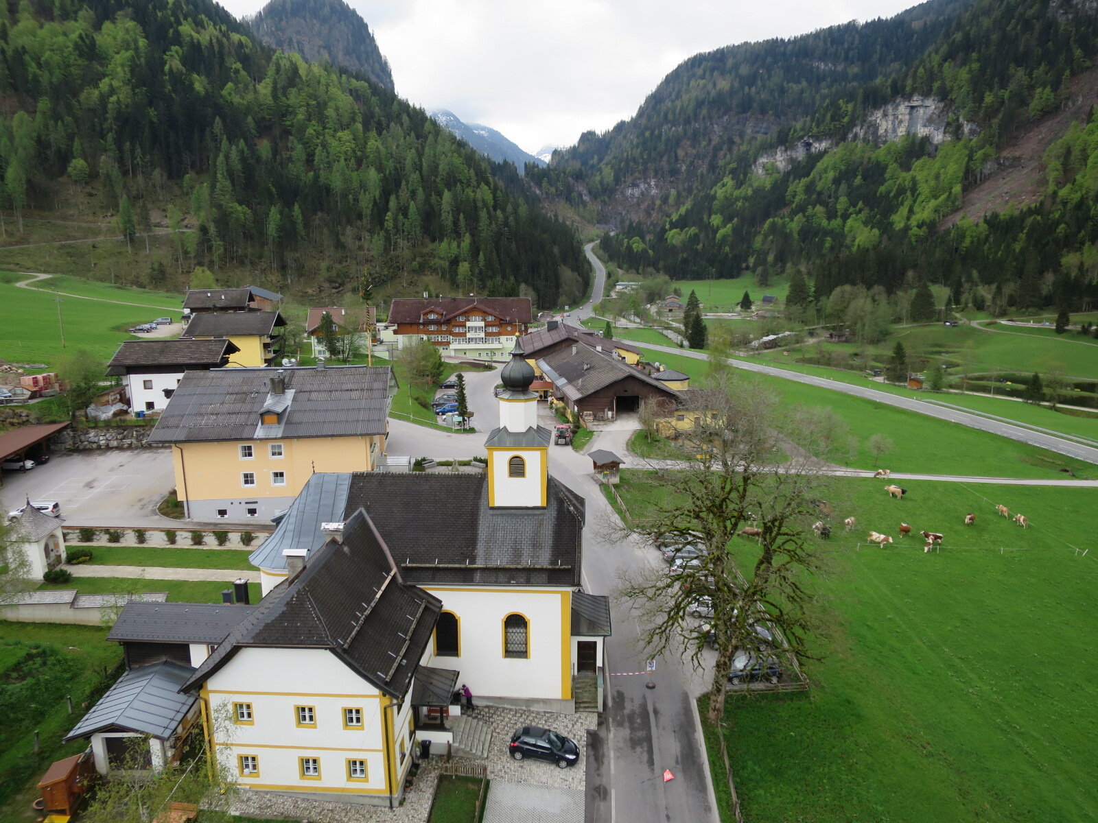
Obertauern
Supplies at the Tauern Pass
The route in Obertauern focuses on how travellers were supplied with food and provisions and how raw materials were sourced. Starting at the exhibition area near the Gamsleiten car park, the trail leads past the Tauern Cemetery towards Schaidberg before returning to the starting point.
Along the way, you'll discover traces of the ancient Roman road and the artwork “QUASI MILIARIUM” by Anna Paul, which connects historic and modern road construction.
Walking time: 2 hours 20 minutes
Elevation gain: 450 m

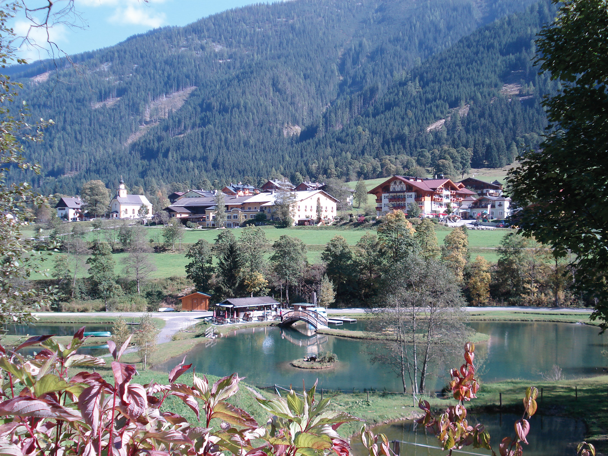
UNTERTAUERN
The engineering behind crossing the Tauern Mountains
The route leads from Untertauern via Gnadenalm to Johanneswasserfall. It focuses on the technical challenges of road construction and the solutions people developed to make travelling through the mountains possible.
Walking time: 2 hours 45 minutes, excluding the return journey
Elevation gain: 620 m
Tweng
Risk along the way
The route leads from the centre of Tweng along the Lantschfeldweg to Tennfall. It tells the story of the dangers of crossing the mountains, combining historical traces with the artworks “weilen” by Jan Hostettler and “Schlammiger Drache” by Cäcilia Brown.
Walking time: 1 hour 30 minutes
Elevation gain: 70 m
Maps and Information
The three routes can be explored independently and in any order. The historic road is not accessible along its entire length, as some sections now form part of the B99 road. The regional bus is recommended for travelling between the routes.
The ÜBERN TAUERN map provides an overview of the trails, historic sites and artworks. You can pick up a copy at the Obertauern Tourist Office.
Please check the current weather and trail conditions when planning your visit.
